


Файл:Ugab river.jpeg
Исходный файл (1000 × 723 пкс, размер файла: 181 КБ, MIME-тип: image/jpeg)
Описание
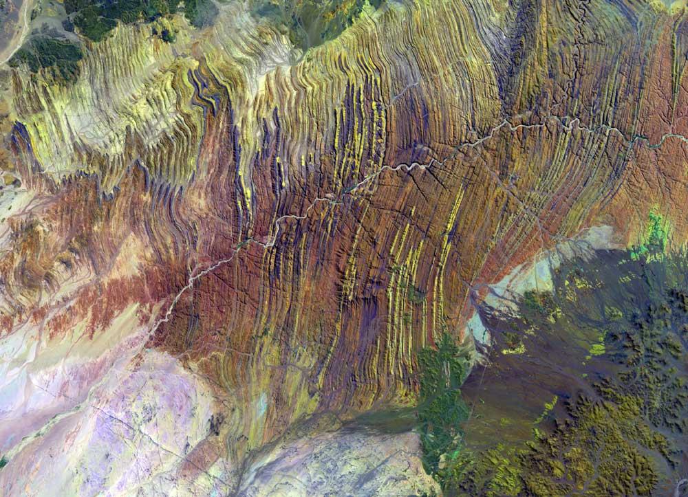
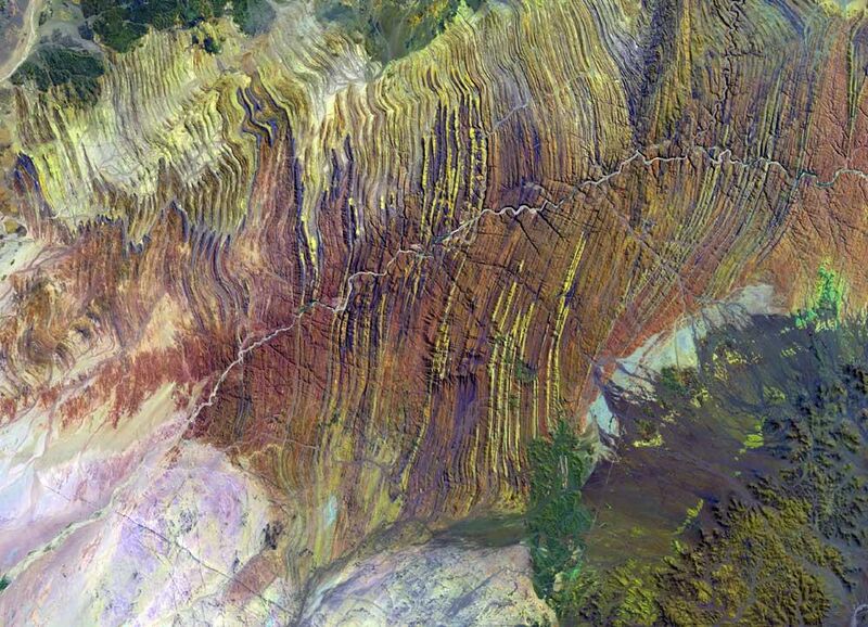
| Описание | False color satellite image of a part of the Ugab River valley, Namibia. – The Ugab river is an ephemeral river that only flows above the surface of its sandy bed a few days each year, but its subterranean water is an important resource for species in the Damaraland region of northern Namibia, including the rare desert elephant. This contrast-enhanced false color image has the Landsat band combination 7-5-4, which means that the red (3), green (2), and blue (1) bands that comprise true color images are replaced by two mid-infrared (7 and 5) and one near-infrared (4) bands. This band combination is appropriate for mapping the surficial geology. The Ugab River here crosses the outcrop of a geological unit which is called “Zerrissene Turbidite System”. It is made up of folded, low grade metamorphosed Neoproterozoic sedimentary rocks which can be subdivided into 5 formations.[#cite_note-swart1990-1 [1]] Most of these formations are quite good identifiable in the false color image: The Zebrapüts Formation (greyish to yellowish), the Brandberg West Formation (a thin violet band, too thin to be clearly visible in the western part of the area, but apparently with larger outcrop area in the east due to very narrow folding), the Brak River Formation (yellowish to dark brown), the Gemsbok River Formation (the broader violet bands), and the Amis River Formation (orange to reddish-brown). The yellowish, brownish and reddish colors are indicative of siliciclastic rocks (claystones and sandstones, incl. “greywacke”) while violet is indicative of carbonates. |
|---|---|
| Источник | USGS Landsat Project Image Gallery: Ugab River, Namibia, cf. Our Earth as Art – Ugab River |
| Время создания | 2002-09-10 |
| Автор или правообладатель | NASA/USGS (Landsat 7 data) — Лицензия: Public domain (в общественном достоянии) |
| Другие версии файла | — |
Источник файла — сайт Wikimedia Commons, куда он был загружен под одной из свободных лицензий ( https://commons.wikimedia.org/wiki/File:Ugab_river.jpeg ). Авторов, работавших над этим файлом см. в истории файла: https://commons.wikimedia.org/w/index.php?title=File:Ugab_river.jpeg&action=history


В общем случае в статьях энциклопедии Руниверсалис файлы используются в соответствии со статьёй 1274 Гражданского кодекса Российской Федерации.
История файла
Нажмите на дату/время, чтобы увидеть версию файла от того времени.
| Дата/время | Миниатюра | Размеры | Участник | Примечание | |
|---|---|---|---|---|---|
| текущий | 17:07, 25 января 2024 | | 1000 × 723 (181 КБ) | Я, робот (обсуждение | вклад) | == Описание == {{Изображение | описание = False color satellite image of a part of the Ugab River valley, Namibia. – The Ugab river is an ephemeral river that only flows above the surface of its sandy bed a few days each year, but its subterranean water is an important resource for species in the Damaraland region of northern Namibia, including the rare desert elephant.<br/> This contrast-enhanced false color image has the Landsat band combination 7-5-4, which means that the red (3), green (... |
Вы не можете перезаписать этот файл.
Использование файла
Следующий файл является дубликатом этого файла (подробности):

- Файл:Ugab river.jpeg на общем хранилище
Следующая страница использует этот файл:
